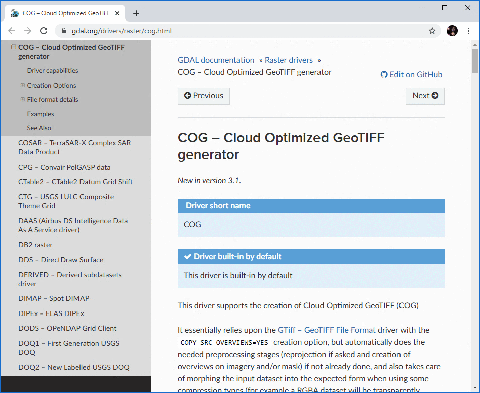
Einen interessanten Beitrag zum Speichern und Visualisieren von Massen-Rasterdaten in der Cloud bei der Verwendung von QGIS habe ich bei Oslandia gefunden: „Store and visualize your raster in the Cloud with COG and QGIS“ [1]. Der Schlüssel zum Erfolg ist das COG-Format „Cloud Optimized GeoTIFF“, quasi ein gekacheltes GeoTIFF. GDAL unterstützt das Format, Details findet Ihr dort in „COG – Cloud Optimized GeoTIFF generator“ [2].
PS: Ich hab es noch nicht getestet, es steht auf der ToDo-Liste 😉 Ich bin gespannt!
[1] … https://oslandia.com/en/2020/09/14/en-store-and-visualize-your-raster-in-the-cloud-with-cog-and-qgis/
[2] … https://gdal.org/drivers/raster/cog.html
Pingback: QGIS-Tipp: COG-Cloud-optimiertes GeoTIFF | #geoObserver