
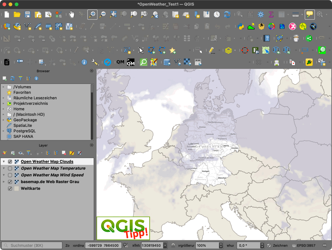
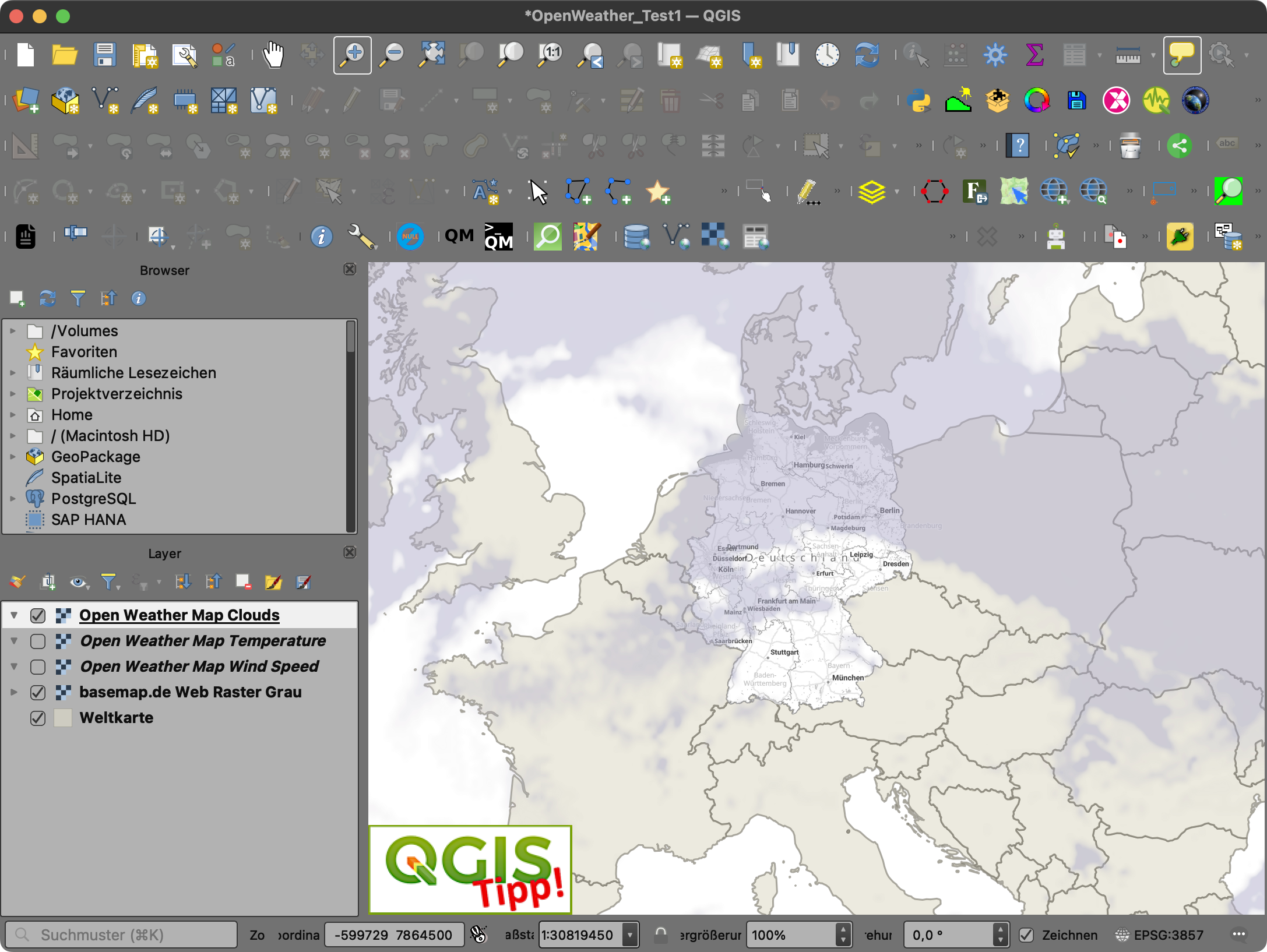
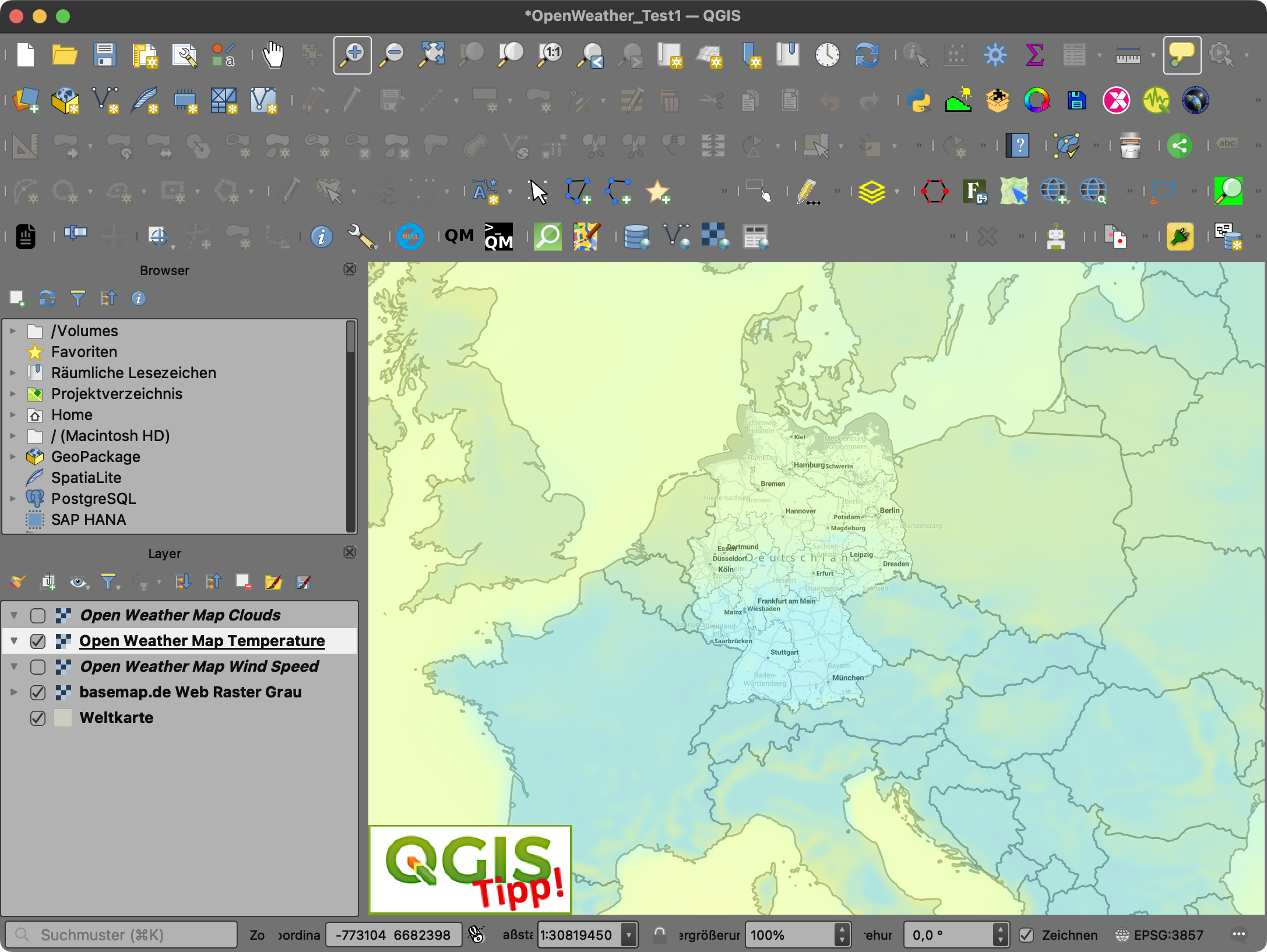
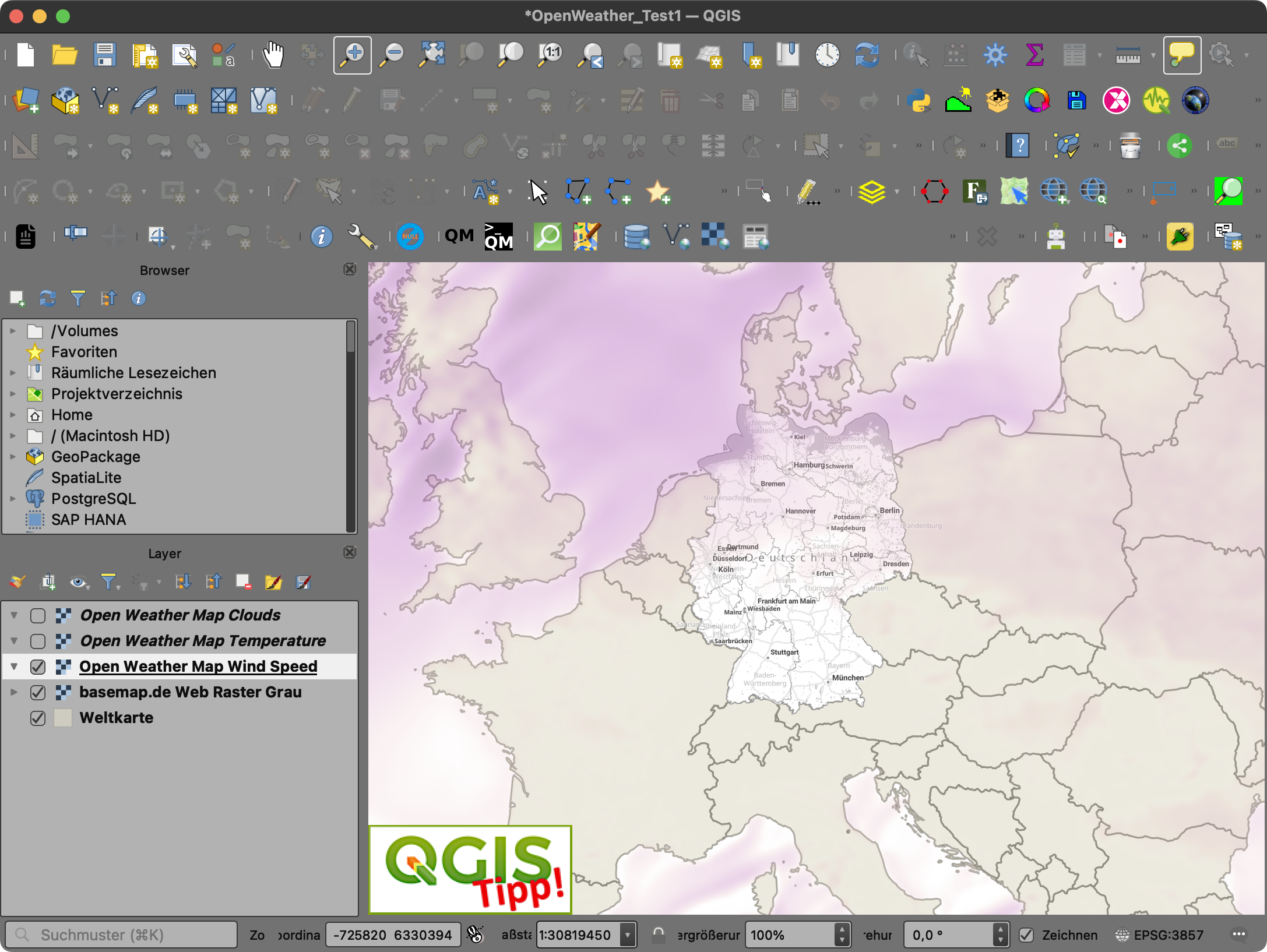
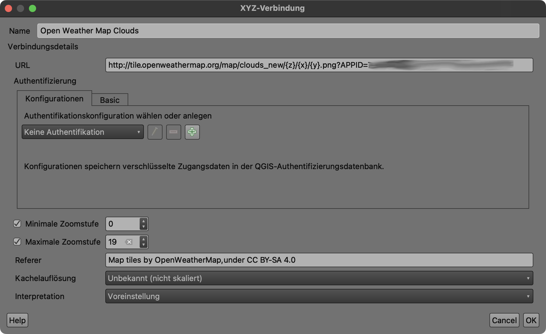
Ein kleiner Nachtrag zum Beitrag vom Freitag „API incl.: OpenWeather!“ [1]. Ich habe mal am Wochenende die auch im freien Zugang inkludierten „Basic Weather maps 1.0“ [2] im QGIS getestet. Einfach API-Key anfordern [3], QGIS starten, XYZ-Tiles einrichten und loslegen. Klappt bestens!
Einrichtung der XYZ-Tiles:https://tile.openweathermap.org/map/{layer}/{z}/{x}/{y}.png?appid={API key}
[1] … https://geoobserver.de/2023/12/15/api-incl-openweather/
[2] … https://openweathermap.org/api/weathermaps
[3] … https://home.openweathermap.org/users/sign_up