
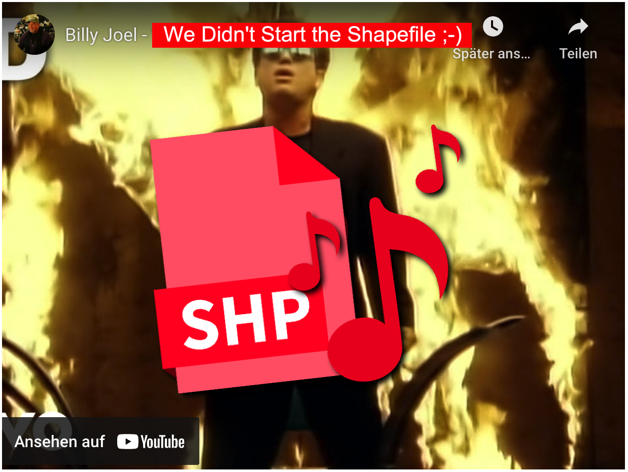
Lange, viel zu lange mussten wir dieses ominöse ESRI-Shapefile ertragen und müssen es immer noch. Weiterhin ist es der Quasi-Standard beim Geodatenaustausch, obwohl seine Nachteile oft genug öffentlich kritisiert [1] wurden. Und nun hat es sogar einen Song: „We Didn’t Start the Shapefile“ [2], gesungen nach der Melodie von Billy Joel „We Didn’t Start the Fire“ [3]. Eindeutig ein Song für die Leidtragenden 😉
Jetzt fehlt nur noch die Band, die diesen Song mit neuem Text einspielt. Los Leute, ich bau auf Euch!
We Didn’t Start the Shapefile
Verse 1
We didn’t start the shapefile
It was always broken, till we tried to open
We didn’t start the shapefile
No, we didn’t crash it, but we had to patch it
ArcInfo, MapInfo, PostGIS and GeoJSON
QGIS, Esri Pro, layers out of place – oh no!
Field Maps, mobile apps, drones are flying overlap
Geopackage, KML, datum’s wrong – what the hell?
Python scripts, FME, schema doesn’t match the key
SDE and shapefiles fight, still not drawing left or right
Coordinate transformation, EPSG frustration
GDA2020? Where’s the old projection?
Chorus
We didn’t start the shapefile
But we hit the limit – and the lines won’t fit it
We didn’t start the shapefile
Though we georeferenced it, it still disconnected
—
Verse 2
AutoCAD, DXF, slashes in the path are wrecked
Attribute domains fail, orphan records on the trail
Cloud-hosted FeatureLayer, download failed? Say a prayer
ArcPy, raster tiles, waiting here for hours in style
AGOL or Enterprise, sync’s down, that’s no surprise
MapServer timeout, broken link, gotta reroute
CRS confusion, data delusion
Topology rules break, polygon’s a half-baked snake
Clip it, zip it, WFS won’t flip it
Metadata’s out of date, and ISO just won’t validate
LiDAR’s here, 3D boom, CityGML consumes
Scene layer’s not rendering, rage-induced geo-doom
Chorus
We didn’t start the shapefile
It was vector madness, spatial data sadness
We didn’t start the shapefile
But we keep on tryin’, ‘cause the map’s still flyin’
—
Bridge
Web Mercator’s back again
Why’s my point in Michigan?
Geocoding fails again
Someone call the helpdesk, man!
GeoTIFF or ECW?
Raster’s wrong – but what can you do?
CartoCSS, Mapbox GL,
Google Maps just broke as well
—
Final Chorus
We didn’t start the shapefile
Though it’s kinda tragic, there’s still GIS magic
We didn’t start the shapefile
No, we didn’t make it, but we won’t forsake it!
Wir haben das Shapefile nicht gestartet
Strophe 1
Wir haben das Shapefile nicht gestartet
Es war immer kaputt, bis wir versucht haben, es zu öffnen
Wir haben das Shapefile nicht gestartet
Nein, wir haben es nicht zum Absturz gebracht, aber wir mussten es flicken
ArcInfo, MapInfo, PostGIS und GeoJSON
QGIS, Esri Pro, Ebenen am falschen Platz – oh nein!
Field Maps, mobile Apps, Drohnen fliegen überlappend
Geopackage, KML, das Datum ist falsch – was soll’s?
Python-Skripte, FME, Schema stimmt nicht mit dem Schlüssel überein
SDE und Shapefiles streiten sich, zeichnen immer noch nicht links oder rechts
Koordinatentransformation, EPSG Frustration
GDA2020? Wo ist die alte Projektion?
Chorus
Wir haben das Shapefile nicht gestartet
Aber wir sind an die Grenze gestoßen – und die Linien passen nicht hinein
Wir haben das Shapefile nicht gestartet
Obwohl wir es georeferenziert haben, ist es immer noch nicht verbunden
—
Strophe 2
AutoCAD, DXF, Schrägstriche im Pfad sind kaputt
Attribut-Domänen schlagen fehl, verwaiste Datensätze auf der Spur
Cloud-gehosteter FeatureLayer, Download fehlgeschlagen? Sprich ein Gebet
ArcPy, Raster-Kacheln, stundenlanges Warten hier im Stil
AGOL oder Enterprise, Sync ist ausgefallen, das ist keine Überraschung
MapServer Timeout, kaputter Link, muss umleiten
CRS Verwirrung, Datenwahn
Topologieregeln brechen, Polygon ist eine halbgare Schlange
Clip it, zip it, WFS won’t flip it
Metadata’s out of date, and ISO just won’t validate
LiDAR’s here, 3D boom, CityGML consumes
Scene layer’s not rendering, rage-induced geo-doom
Chorus
We didn’t start the shapefile
It was vector madness, spatial data sadness
We didn’t start the shapefile
But we keep on tryin‘, ‚cause the map’s still flyin‘
—
Brücke
Web Mercator ist wieder da
Warum ist mein Punkt in Michigan?
Die Geokodierung schlägt wieder fehl
Jemand sollte den Helpdesk anrufen, Mann!
GeoTIFF oder ECW?
Das Raster ist falsch – aber was kann man tun?
CartoCSS, Mapbox GL,
Google Maps sind auch gerade kaputt gegangen
—
Final Chorus
We didn’t start the Shapefile
Auch wenn es irgendwie tragisch ist, es gibt immer noch GIS-Magie
We didn’t start the Shapefile
Nein, wir haben es nicht geschafft, aber wir werden es nicht aufgeben!
(Übersetzt mit Deepl.com)
Zur Erinnerung das Original-Youtube-Video von Billy Joel „We Didn’t Start the Fire“ [2]:
[1] … https://geoobserver.de/2022/11/09/2022-und-immer-noch-das-shapefile/
[2] … https://www.linkedin.com/posts/deanmhowell_we-didnt-start-the-shapefile-thanks-activity-7341584842528104448-AETK/
[3] … https://www.youtube.com/watch?v=eFTLKWw542g
Ähnliches Thema aber andere Lyrics:
https://suno.com/s/SL3eLyKMOGp14GTK